Title
University Archives Photograph Collection
Description
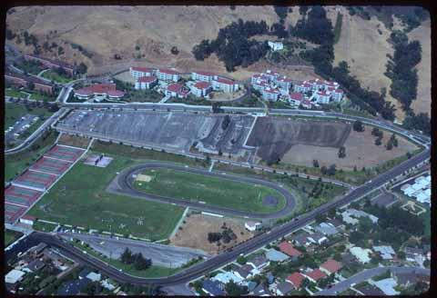
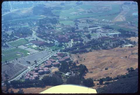
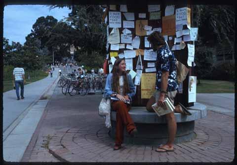
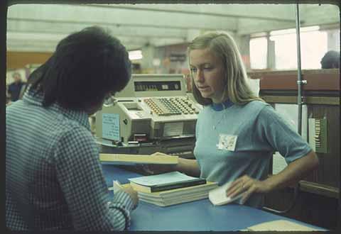
Photographs, negatives, and photographic slides created and collected by campus staff, faculty, and students between 1900-2017. Images include campus buildings and landscape, student activities, special events, classrooms and coursework, faculty and staff events, and aerial views of campus and the surrounding area. Finding aid available at https://oac.cdlib.org/findaid/ark:/13030/c8w09c4b/admin/
![[Library lobby]](/_flysystem/fedora/styles/large/fedora/2023-02/ua-pho_00001855.jpg?itok=E4CJGyKu)
![[Students reading newspapers]](/_flysystem/fedora/styles/large/fedora/2023-02/ua-pho_00001882.jpg?itok=t2jy8iGa)
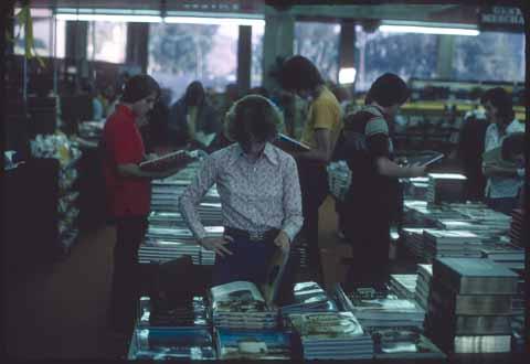
![[Students using reference materials]](/_flysystem/fedora/styles/large/fedora/2023-02/ua-pho_00001875.jpg?itok=af_TvUY8)


![[Students at Science North Entrance]](/_flysystem/fedora/styles/large/fedora/2023-03/6608.jpg?itok=RZDuHGcv)
![[Students in University Union]](/_flysystem/fedora/styles/large/fedora/2023-05/ua-sel_00000296.jpg?itok=vVIvt_Q8)
![[Students in University Union]](/_flysystem/fedora/styles/large/fedora/2023-05/ua-sel_00000290.jpg?itok=YwTed6fF)
![[Guitarist in University Union plaza]](/_flysystem/fedora/styles/large/fedora/2023-05/ua-sel_00000295.jpg?itok=zAfGWX7l)
![[Construction of Yosemite Dorms]](/_flysystem/fedora/styles/large/fedora/2023-05/ua-sel_00000292.jpg?itok=RRopoyeh)
![The Collegians [perform on stage]](/_flysystem/fedora/styles/large/fedora/2023-03/6761.jpg?itok=FOoCTcb9)