Title
Julia Morgan Papers
Description
Papers, 1835-1958 (bulk 1896-1945), contain architectural drawings and plans, office records, photographs, correspondence, project files, student work, family correspondence, and personal papers from the estate of California architect Julia Morgan, who practiced in San Francisco during the first half of the twentieth century. Includes architectural documents regarding William Randolph Hearst and the world-renowned Hearst Castle. More information available at: https://oac.cdlib.org/findaid/ark:/13030/kt9s2030pj


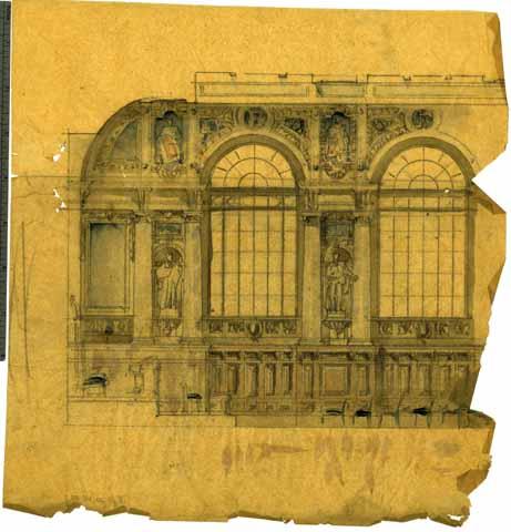
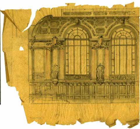
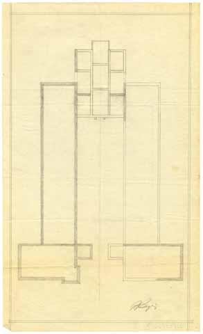
![[Study For Sitting Room of House "A"]](/_flysystem/fedora/styles/large/fedora/2023-02/010-5-i-73-02-02.jpg?itok=JPZJiG9h)
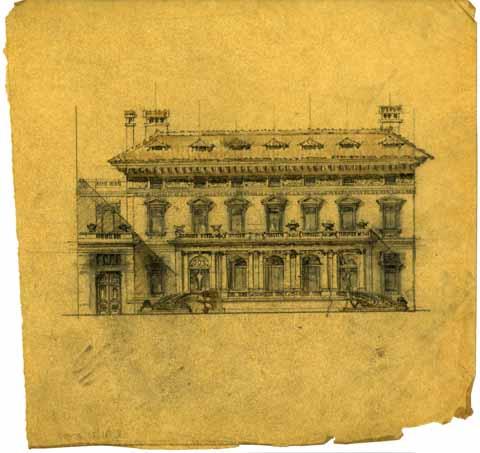
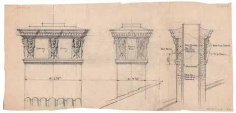
![[Library Mantel - House "A"]](/_flysystem/fedora/styles/large/fedora/2023-02/010-5-i-73-02-03.jpg?itok=DJhmBZjv)
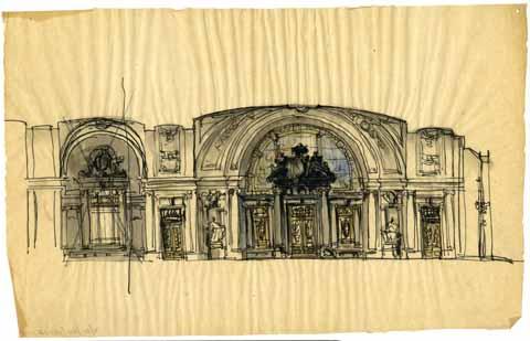
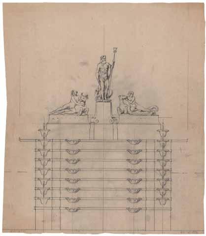
![[House A, Interior Drawing]](/_flysystem/fedora/styles/large/fedora/2023-02/010-5-i-73-02-01.jpg?itok=1AvKN22l)
![[Engineering calculations and diagrams]](/_flysystem/fedora/styles/large/fedora/2023-02/010-9-a-88-35-02.jpg?itok=9ZCZ1ESA)
![[Rough engineering calculations and diagrams]](/_flysystem/fedora/styles/large/fedora/2023-02/010-9-a-88-35-03.jpg?itok=lugYaSDN)

![[Axon drawing of Beach House (Ocean House) Alterations for Marion Davies, Santa Monica], circa 1929](/_flysystem/fedora/styles/large/fedora/2023-02/010-9-e-ff064-04-01.jpg?itok=U47Me2It)
![Revised elevation [of Santa Monica beach house (Ocean House) for Marion Davies, Santa Monica]](/_flysystem/fedora/styles/large/fedora/2023-02/010-9-e-ff064-04-02.jpg?itok=2V49Uf8T)

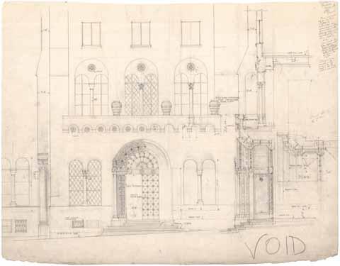
![Clay Street [elevation]](/_flysystem/fedora/styles/large/fedora/2023-02/010-7-c-ff059-01-01.jpg?itok=sA0xlrIW)


![Mesic, Julian C. [Berkeley Women's City Club Pool by Julian C. Mesic]](/_flysystem/fedora/styles/large/fedora/2023-02/010-3-b-31-16-01.jpg?itok=QpXaH2hE)