Title

University Archives Photograph Collection

Description

Photographs, negatives, and photographic slides created and collected by campus staff, faculty, and students between 1900-2017. Images include campus buildings and landscape, student activities, special events, classrooms and coursework, faculty and staff events, and aerial views of campus and the surrounding area. Finding aid available at https://oac.cdlib.org/findaid/ark:/13030/c8w09c4b/admin/

Collection

Displaying results 11 - 20 of 273
Results per page
10
25
50
Local Identifier
ua-sel_00000404
Date Created
1974-09
Description

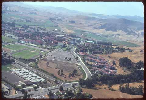
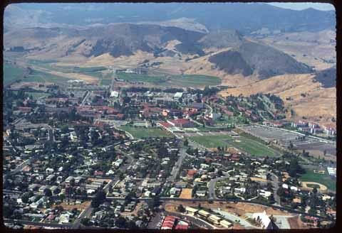
Aerial taken from a somewhat lower elevation, with Highway 1 visible in the upper left corner of the frame, campus in the center, and Slack Street at the bottom. A reflection from the airplane window partially obscures some detail.

Local Identifier
ua-sel_00000405
Date Created
1974-09
Description

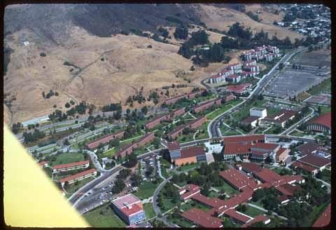
Aerial taken from low elevation, facing southeast toward Yosemite dorms. The Math and Science building, University Union, and Administration building are all visible in the lower half of the image. The plane wing obscures the lower left corner of the image.

Local Identifier
ua-sel_00000406
Date Created
1974-09
Description

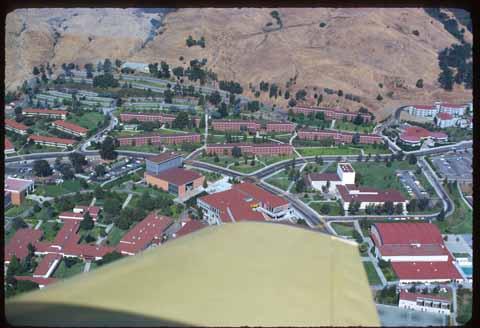
Campus aerial facing the Red Brick dorms. Mott Gym is visible in the lower right corner of the frame, and some of the North Mountain dorms appear on the left. The airplane wing obscures a good portion of the lower half of the image.

Local Identifier
ua-sel_00000407
Date Created
1974-09
Description

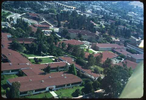
Campus aerial taken at a very low elevation over the Math and Science building, facing south-southwest. The President's house is barely visible in the upper third of the frame, while the Health Center can be seen to the upper left. The airplane wing obscures the lower right corner of the frame.

Local Identifier
ua-sel_00000408
Date Created
1974-09
Description

Aerial of campus and environs, taken from just over Highway 101 facing north. Fredericks Street and the United Methodist Church appear at the extreme lower edge of frame, while Poly Canyon occupies the upper third.

Local Identifier
ua-sel_00000409
Date Created
1974-09
Description

Aerial facing Poly Canyon, with the P visible in the upper right. The intersection of Foothill and California can be seen in the extreme lower left of frame.

Local Identifier
ua-sel_00000410
Date Created
1974-09
Description

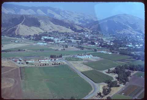
Aerial with campus in the mid-distance. Crop fields occupy the bulk of the frame, with Stenner Creek visible to the lower right. A reflection from the airplane window obscures some detail in the upper right portion of the image.

Local Identifier
ua-sel_00000411
Date Created
1974-09
Description

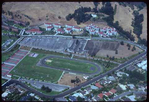
Aerial with Tenaya and Fremont Halls, Vista Grande (VG's), Sierra Madre, and Yosemite dorms visible in the upper third of the image. Tennis courts, the track, and practice fields can be seen with people using them. The intersection of Slack Street and Grand Avenue is just visible in the extreme right of the image.